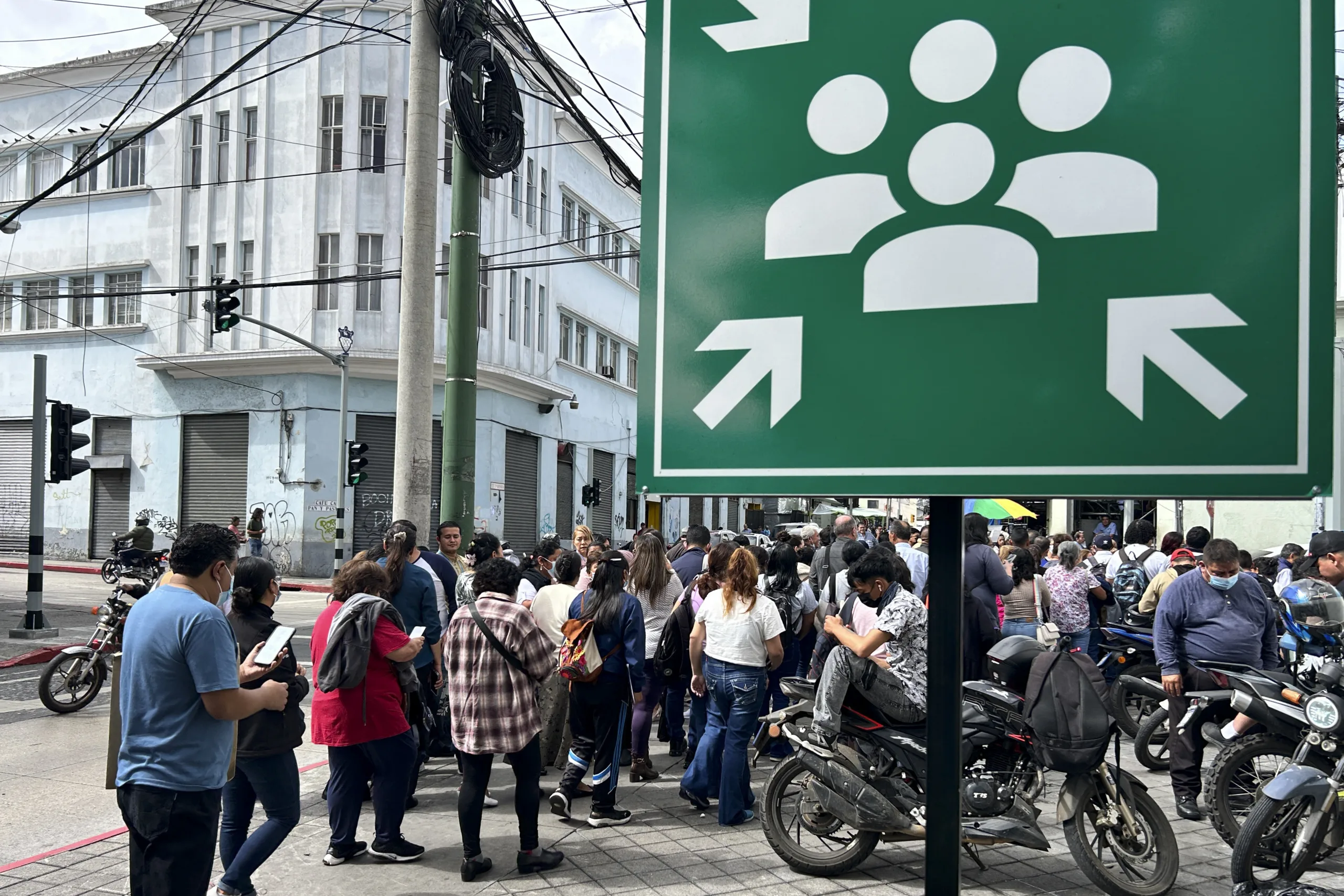
A 7.3 magnitude earthquake struck this Friday (17) the southern coast of Mexico, close to the border with Guatemala. The tremor occurred at sea, near the city of Puerto Madero, and was felt in Chiapas, Guatemala and El Salvador.
The United States Geological Survey (USGS) initially reported that the earthquake was magnitude 7.4, but revised the record to 7.3. After the tremor, the United States Tsunami Warning System issued a warning for Mexico and Guatemala and reported the possibility of smaller waves in eight other countries in Latin America.
According to the USGS, the earthquake occurred in a subduction zone (a process in which one tectonic plate sinks under another), in which the Cocos plate dips beneath the Central American Trench plates. There, the Cocos plate converges with the North American plate at a rate of about 76 millimeters per year. Before the main event, two precursor tremors of magnitude 4.1 were recorded on July 14 and magnitude 4.7 about 88 minutes before the earthquake.
Since 1950, there have been 50 earthquakes of magnitude 7 or greater along the plate interface in Central America. Within a radius of 250 kilometers from the site of Friday’s earthquake, seven events of this magnitude have been recorded since 1950. The area also includes regions affected by earthquakes of magnitude 7.3 in 1970, 7.2 in 1993 and 8.2 in 2017.
The President of Mexico, Claudia Sheinbaum, reported that there is no record of damage or casualties so far. “I spoke with the governors of Chiapas and Tabasco, states that have not reported damage so far,” he wrote on his profile on X, formerly Twitter. Sheinbaum also urged residents of Chiapas and Tabasco not to go near the coast. “The Navy Secretariat recommends that no one approaches these beaches in the next six hours due to the risk of a tsunami,” he said.
On social media, the president also stated that “authorities from the three spheres of government are carrying out on-site inspections to assess possible structural damage and coordinate preventive measures. We will continue to provide updates.”
The United States Tsunami Warning System reported that there is a possibility of waves within a radius of 300 kilometers from the epicenter. In an updated bulletin, the agency estimated waves of up to one meter on the coasts of Mexico and Guatemala, in addition to smaller waves in Colombia, Ecuador, Costa Rica, El Salvador, Honduras, Nicaragua, Panama and Peru.
Mexican Navy Secretary Raymundo Morales said he does not expect “a serious problem.” “As for marine conditions, the water level is expected to rise only up to half a meter on some beaches. This is a tsunami effect caused by the earthquake. People are being advised to stay away from the beaches, but there is no serious problem,” he said.
Mexico’s National Seismological Service recorded aftershocks in the cities of Ciudad Hidalgo, Huixtla and Mapastepec, all close to the epicenter.
In Guatemala City, the earthquake caused buildings to shake and residents to leave homes and buildings. President Bernardo Arévalo reported that there were no records of victims in the country. In Oaxaca, Governor Salomón Jara reported that the tremor was felt in the state capital and that there were no immediate reports of damage.
Source: www.brasildefato.com.br